-
Initial View
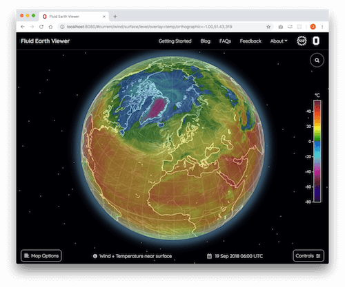
By default, the application displays the current winds a few feet above the Earth's surface. The color shadings represent the near-surface air temperature (blue/purple areas-colder and red/orange areas-warmer).
-
Moving Around
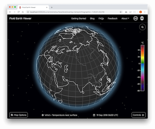
To rotate the globe, click and drag the surface in any direction.
-
Zooming
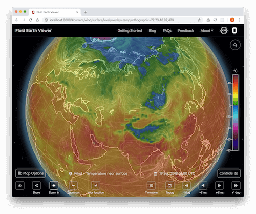
To zoom in or out, use your mouse wheel or (for touchpads and touch-screen devices) pinch with two fingers. Zooming in/out can also be done using the and buttons in the upper right.
-
What does it mean?
To see a legend explaining the fields displayed on the screen, click on in the menu bar.
-
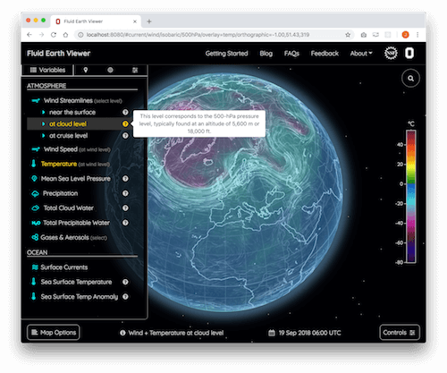
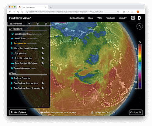
View other variables
To select a different variable (temperature, precipitation, etc.) or altitude, click on in the menu bar and choose from the pop-up menu. Click on a second time to hide the variables menu.
-
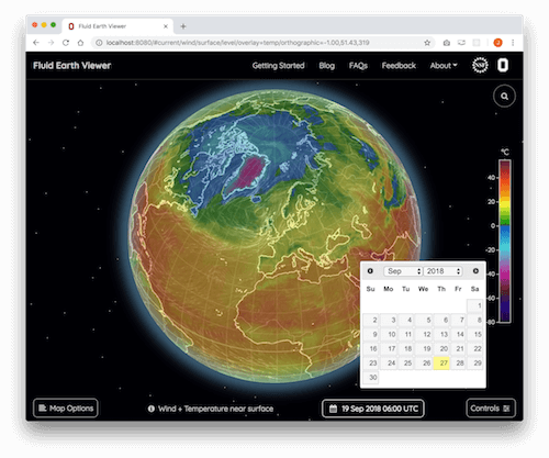
Time travel
To select a different date or time, click on in the menu bar to display the calendar menu.
-
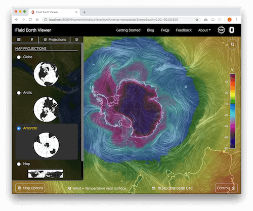
Map Projections
To change the map projection, click on in the menu bar and select one of the four projections available.